
Tutorials
The Role of GNSS Satellite Systems in Modern Road Construction
The Role of GNSS Technology in Modern Road Construction
Improving Accuracy, Speed, and Productivity with Rassam GPS Technologies
In recent years, the road construction industry has rapidly adopted intelligent and high-precision technologies. One of the most significant innovations is the Global Navigation Satellite System (GNSS), which has transformed earthmoving, grading, excavation, and infrastructure projects. Today, leading contractors rely on GNSS machine control systems to complete projects with greater accuracy, higher productivity, and lower operational costs.
What is GNSS and Why is it Important in Road Construction?
GNSS (Global Navigation Satellite System) combines satellite constellations such as GPS, GLONASS, Galileo, and BeiDou to provide highly accurate positioning anywhere on Earth. When combined with RTK correction technology, GNSS delivers centimeter-level positioning accuracy, making it an essential tool for modern road construction projects.
Applications of GNSS in Road Construction
Precise Earthmoving Operations
Earthmoving is one of the most critical stages of road construction. By installing GNSS machine control systems on bulldozers, graders, and excavators, operators can monitor elevation, slope, and machine position in real time and perform work exactly according to the digital design model.
Reducing Human Errors
Traditional surveying methods require continuous field measurements and manual verification. GNSS systems minimize human errors by providing real-time positioning and guidance, resulting in higher construction quality.
Faster Project Completion
With fewer corrections and less rework, GNSS-equipped machines complete grading and earthmoving operations more efficiently, reducing project timelines and increasing productivity.
Lower Fuel Consumption and Operating Costs
Accurate machine guidance eliminates unnecessary machine movements, reducing fuel consumption, equipment wear, and overall project costs.
Rassam GPS Solutions for Road Construction
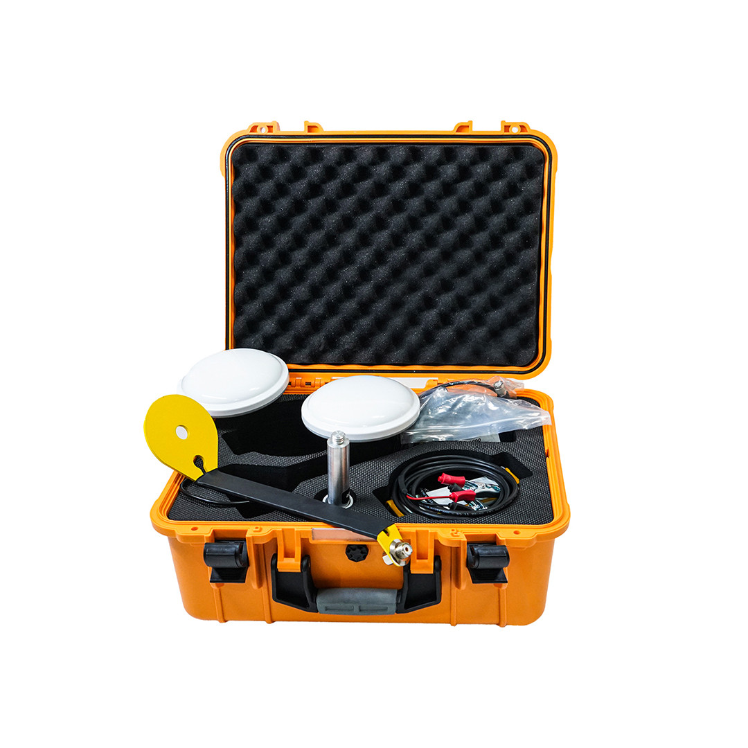
Rassam GPS develops advanced GNSS machine control technologies specifically designed for road construction and heavy equipment applications.
Multi-Constellation GNSS Receivers
Rassam systems support GPS, GLONASS, Galileo, and BeiDou simultaneously, ensuring reliable positioning and maximum accuracy in all working environments.
RTK Centimeter-Level Positioning
RTK correction technology enables highly accurate grading, excavation, and road construction operations, significantly improving construction quality.
Intelligent Machine Control
Rassam machine control systems continuously monitor and automatically adjust the blade or bucket position according to the digital design model, ensuring smooth grading, precise slopes, and reduced rework.
Professional Project Management Software
Rassam software solutions provide powerful tools for project planning, monitoring, machine management, and real-time performance analysis throughout every construction stage.
Benefits of Using Rassam GPS Solutions
• Centimeter-level construction accuracy
• Reduced surveying costs
• Less unnecessary excavation and filling
• Faster project completion
• Lower fuel consumption
• Reduced equipment wear
• Less dependence on traditional surveying methods
• Improved final road quality
Conclusion
GNSS technology and intelligent machine control systems are shaping the future of road construction. Rassam GPS solutions enable contractors to perform grading, excavation, and infrastructure projects with greater precision, higher productivity, and lower operating costs. In today's competitive construction industry, satellite positioning technology is no longer an advantage—it has become a necessity for successful project execution.