Tutorials
What Are GNSS and RTK Technologies? Their Applications in Smart Agriculture
What Are GNSS and RTK Technologies? Their Applications in Smart Agriculture
Satellite positioning technologies play an important role in the development of smart agriculture and the improvement of farming accuracy. Among the most important technologies are GNSS and RTK positioning, which enable agricultural machinery to determine its position with a high level of accuracy.
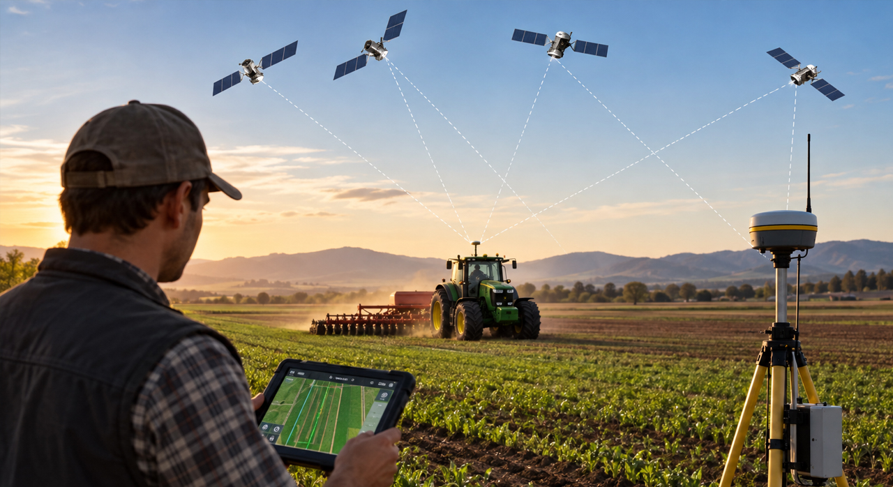
These technologies use satellite signals to determine the precise location of agricultural machinery, supporting operations such as land leveling, plowing, planting, field management, and tractor autosteering.
In this article, we explore GNSS and RTK technologies, how they work, and their applications in precision agriculture.
What Is GNSS?
GNSS stands for Global Navigation Satellite System.
It is a satellite-based technology used to determine geographic position, velocity, and time. GNSS includes several satellite navigation systems, such as GPS in the United States, GLONASS in Russia, Galileo in Europe, and BeiDou in China.
In agriculture, GNSS receivers collect satellite signals to determine the position of agricultural machinery and provide essential information to intelligent control systems.
However, standard GNSS positioning accuracy may not be sufficient for many precision farming operations. Advanced techniques such as RTK are therefore used to improve positioning accuracy.
What Is RTK and How Does It Work?
RTK stands for Real-Time Kinematic. It is an advanced positioning technique designed to improve the accuracy of satellite-based navigation systems.
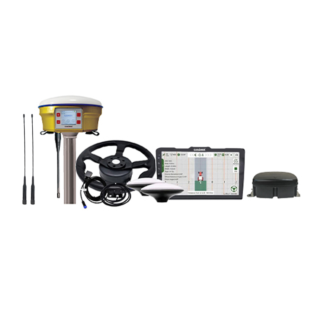
In an RTK system, measurements from a mobile receiver installed on agricultural machinery are compared with data from a reference station or correction network. Correction data are then transmitted to the mobile receiver to reduce positioning errors.
By using precise satellite signal measurements, RTK enables positioning with significantly higher accuracy than conventional GNSS.
Under suitable satellite reception conditions, with a reliable reference connection and properly functioning equipment, RTK positioning accuracy can reach approximately 2 to 3 centimeters.
This level of accuracy makes RTK one of the key technologies in precision agriculture.
Applications of GNSS and RTK in Agriculture
- Precision Agricultural Land Leveling
One of the most important applications of GNSS and RTK in agriculture is satellite-based land leveling.
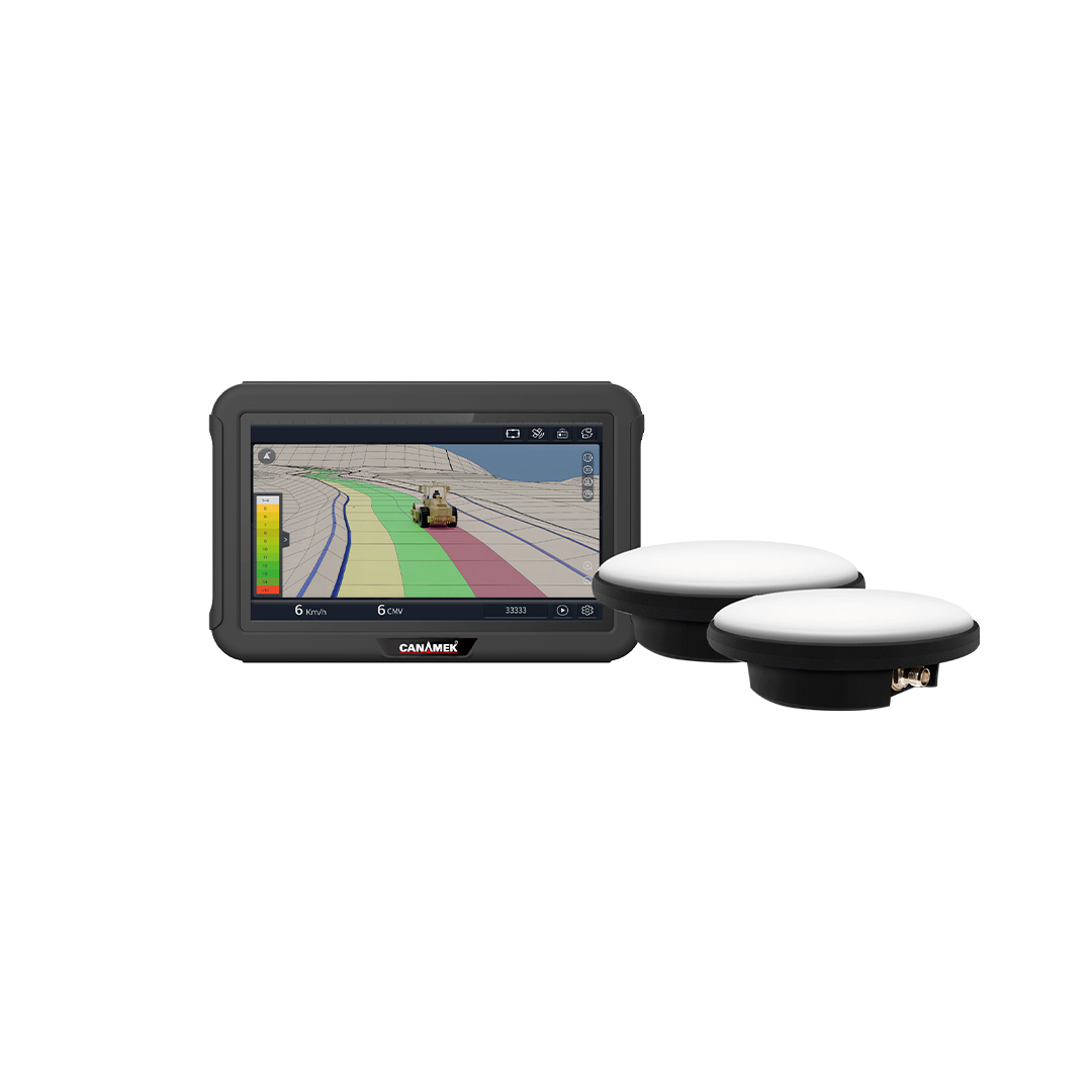
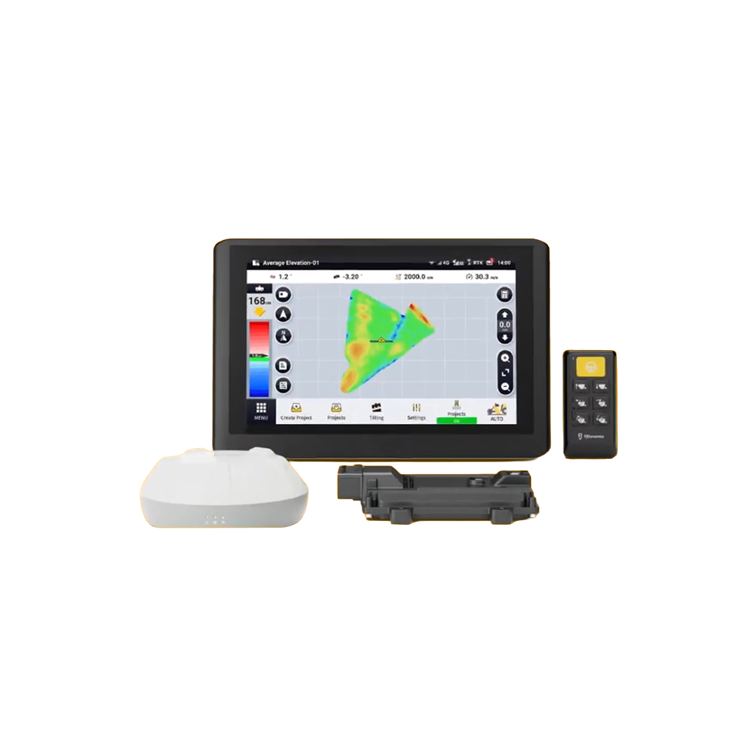
In satellite leveling systems, the position and elevation of the leveling blade are measured and controlled in real time. This information allows the control system to adjust blade height according to the designed terrain model and required slope.
This technology improves leveling accuracy, supports better water distribution, reduces surface irregularities, and helps optimize resource consumption.
- Tractor Autosteering and Autopilot Systems
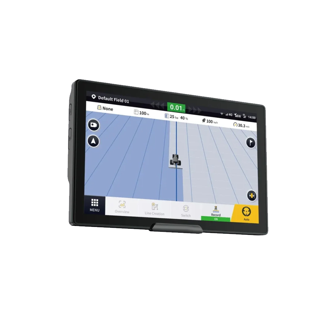
Tractor autosteering systems use GNSS positioning and RTK corrections to control machinery movement with high accuracy.
These systems reduce the need for manual steering and enable tractors to follow consistent, parallel paths.
Autosteering can improve the efficiency of planting, spraying, fertilizing, and harvesting operations by reducing overlapping passes and missed areas.
- Precision Crop Planting
GNSS and RTK technologies play an important role in improving planting accuracy.
By defining precise machinery paths, these systems help maintain consistent row spacing and reduce the risk of overlapping or missed planting areas.
This is particularly important for row crops and agricultural operations that require high positioning accuracy.
- Smart Farm Management
Another important application of GNSS and RTK is accurate spatial data management in agricultural fields.
These technologies can be used to record machinery paths, field boundaries, and the locations of agricultural operations.
The collected data support field mapping, machinery route management, operational planning, and improved resource utilization.
- Reducing Human Error and Improving Productivity
One of the key benefits of precise positioning technologies is reduced dependence on the operator's manual steering skills.
GNSS and RTK-based systems provide accurate position and path control, enabling more consistent agricultural operations.
This can help reduce operational errors, save time, lower fuel consumption, and improve machinery productivity.
GNSS vs. GNSS with RTK
Standard GNSS determines geographic position using satellite signals, but its accuracy may not be sufficient for certain precision agriculture applications.
GNSS with RTK, on the other hand, uses correction data from a reference station or correction network to improve positioning accuracy to the centimeter level.
For this reason, RTK systems are widely used in satellite land leveling, tractor autosteering, and precision planting.
However, achieving centimeter-level accuracy depends on several factors, including receiver quality, satellite visibility, environmental conditions, reference station connectivity, and the proper reception of correction data.
The Role of Rassam GPS in the Development of Smart Agriculture
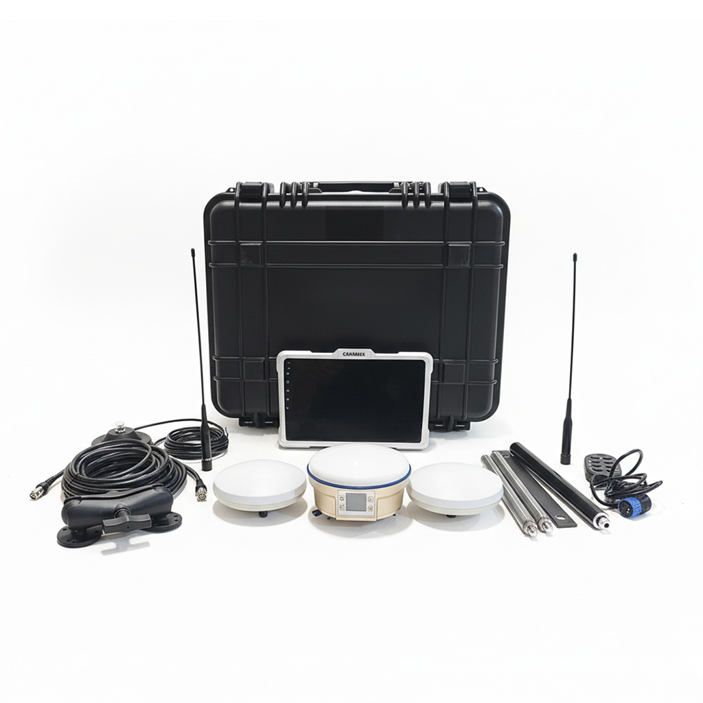
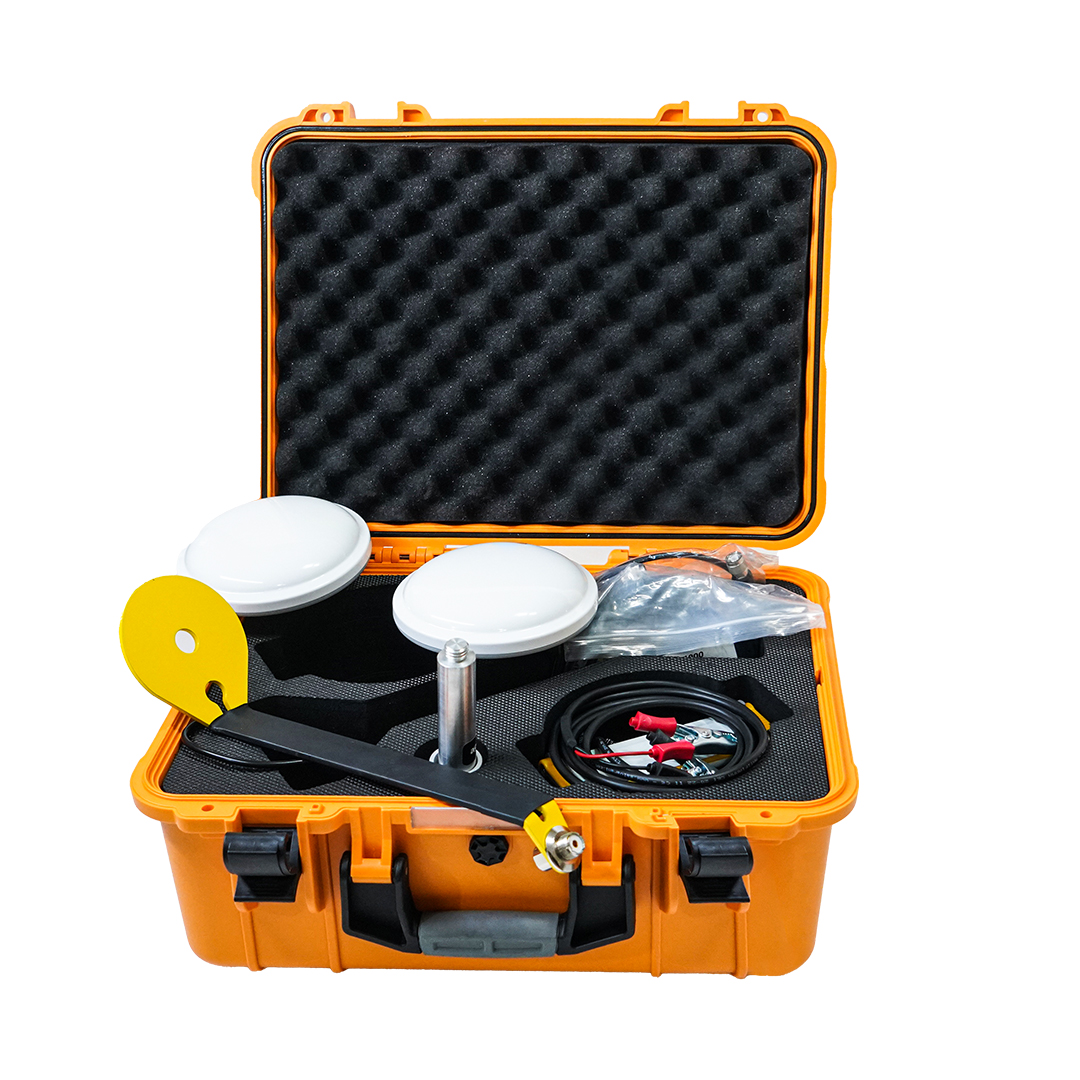
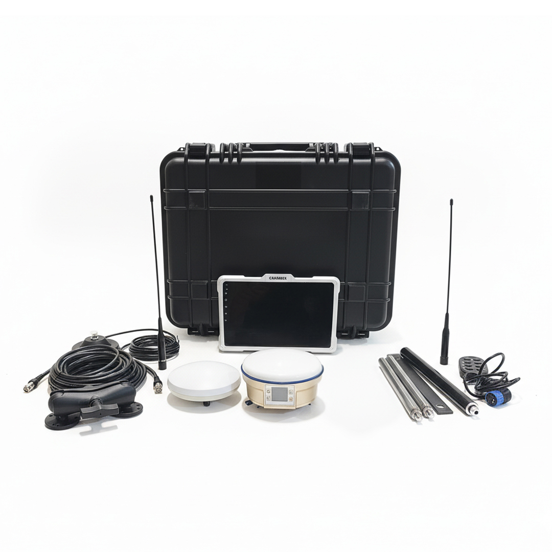
Rassam GPS uses its technical expertise and experience in satellite positioning technologies to develop and provide intelligent control equipment for agricultural and construction machinery.
Rassam GPS satellite land leveling systems and autosteering solutions use advanced positioning technologies to improve operational accuracy, reduce human error, and optimize time and costs.
By enabling precise control of machinery position and movement, these systems contribute to the development of precision agriculture and improved farming productivity.
Through intelligent solutions for satellite land leveling and automatic steering, Rassam GPS aims to support the transition from conventional farming to precision and smart agriculture.
Conclusion
GNSS and RTK are among the most important positioning technologies in smart agriculture. GNSS determines position using satellite signals, while RTK improves positioning accuracy to the centimeter level through correction data.
From satellite land leveling and tractor autosteering to precision planting and smart farm management, these technologies play a significant role in improving accuracy, reducing operational errors, and increasing agricultural productivity.
With the development of precise positioning systems, farmers can perform agricultural operations with greater control, optimized resource consumption, and improved quality.