Precision Agriculture
Introducing the TopoMizer Satellite Land Leveling System
As modern agriculture continues to evolve and the efficient management of water and soil resources becomes increasingly important, precision GNSS-based technologies have become a fundamental part of professional land leveling. TopoMizer is one of the latest and most advanced satellite land leveling systems offered by Rassam GPS. With its high accuracy, user-friendly interface, and comprehensive capabilities, it delivers a major advancement in land management and field preparation.
The Next Generation of High-Precision Land Leveling
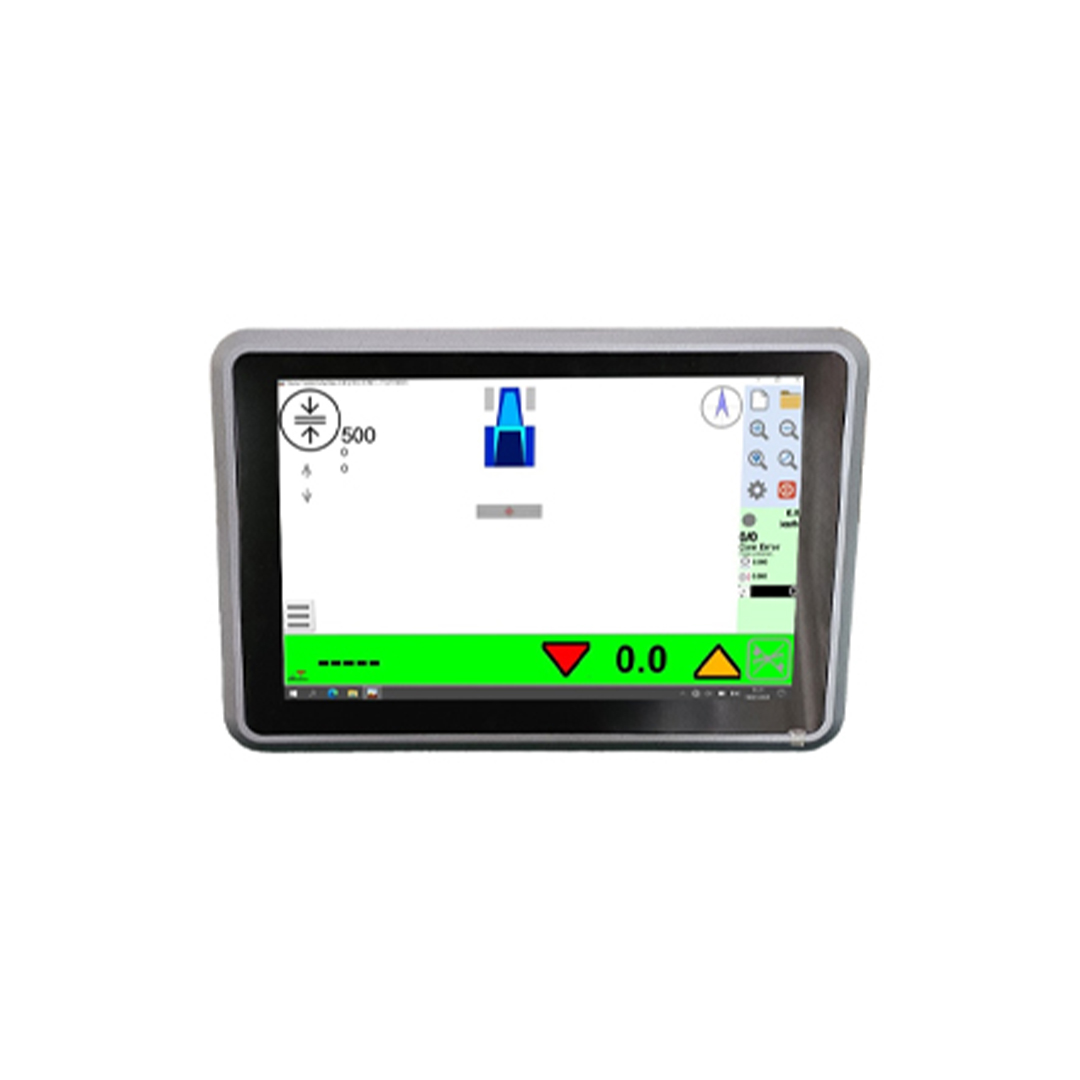
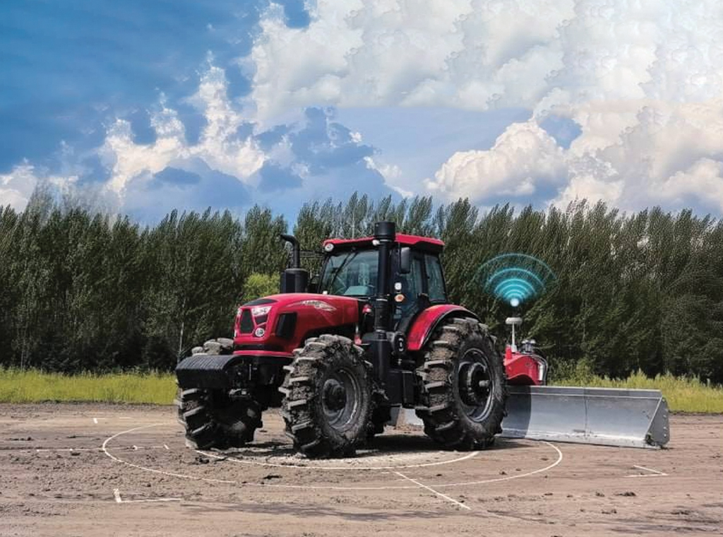
Using high-precision GPS positioning and advanced control algorithms, TopoMizer automatically controls the leveling blade and performs land leveling operations with exceptional accuracy. The system is designed for farmers, contractors, and water management professionals, helping increase productivity while reducing water consumption, preventing soil erosion, and lowering fertilizer and chemical costs.
Key Features of TopoMizer
• Accurate collection and storage of field data
• Easy project file transfer
• Optimized land design with minimum soil movement
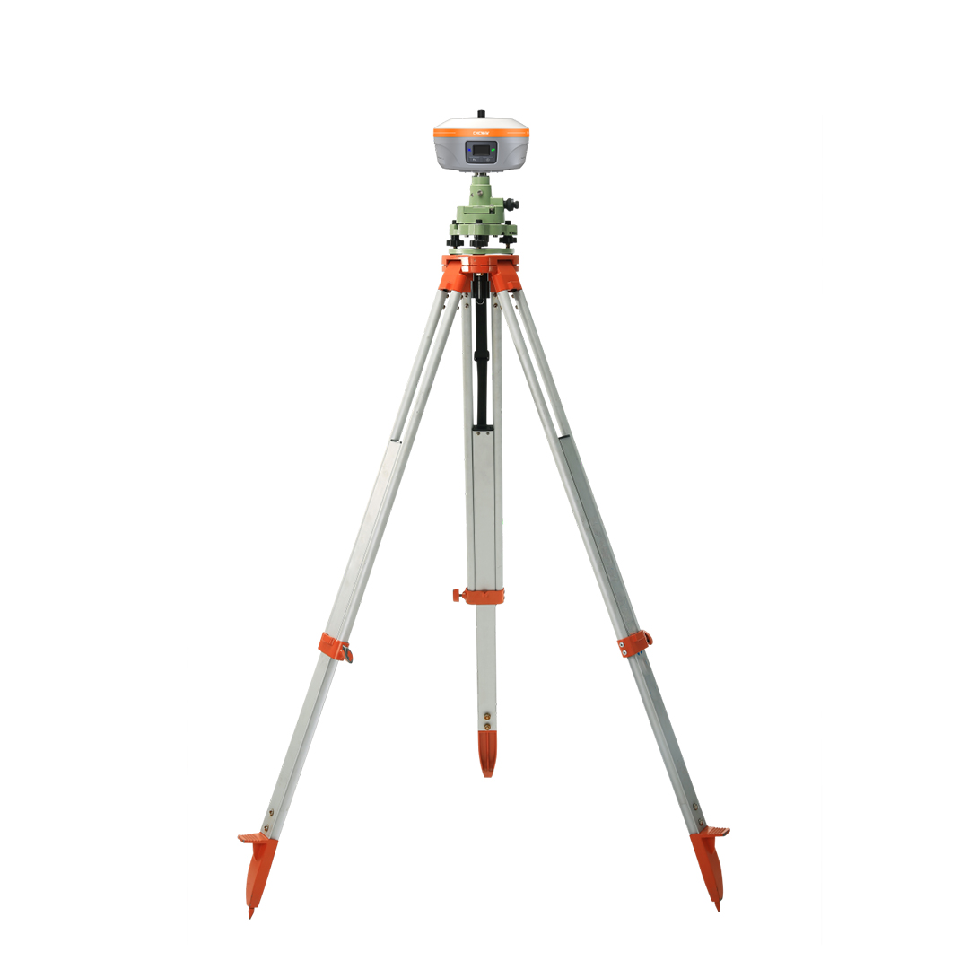
• High-precision topographic surveying
These features enable faster, more accurate, and fully controllable land leveling project planning and execution.
Flexible Surveying and Data Sharing
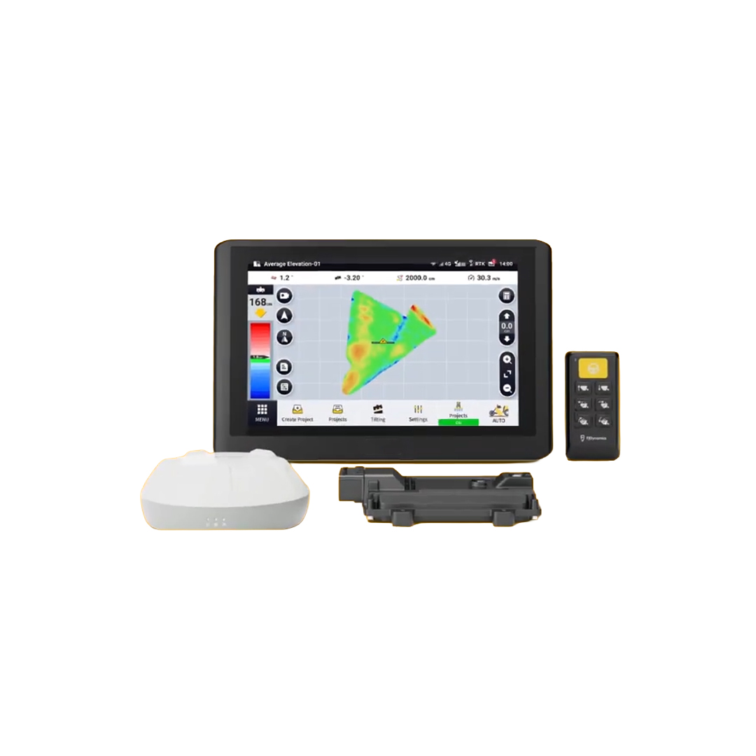
One of TopoMizer's greatest advantages is its flexible data management system. Users can adjust project elevation with a single button, export project data for multiple devices, import AGD design files from other software, and save project reports in PDF format for documentation and archiving.
These capabilities make TopoMizer a professional solution for complete land leveling project management.
Multi-Terrain Compatibility
TopoMizer analyzes topographic data to generate the most efficient land design while minimizing soil movement. It is suitable for rice fields, dry farmland, flat terrain, and both single-plane and dual-plane fields. Users can accurately configure target elevation, slope, water flow direction, and Cut & Fill ratios to improve irrigation efficiency and preserve soil quality.
Remote Support and OTA Updates
The system supports Over-the-Air (OTA) software updates, allowing users to receive the latest features without visiting a service center. Remote support also enables fast communication with technical teams and distributors, minimizing downtime and improving operational reliability.
Integrated Design with Superior Accuracy
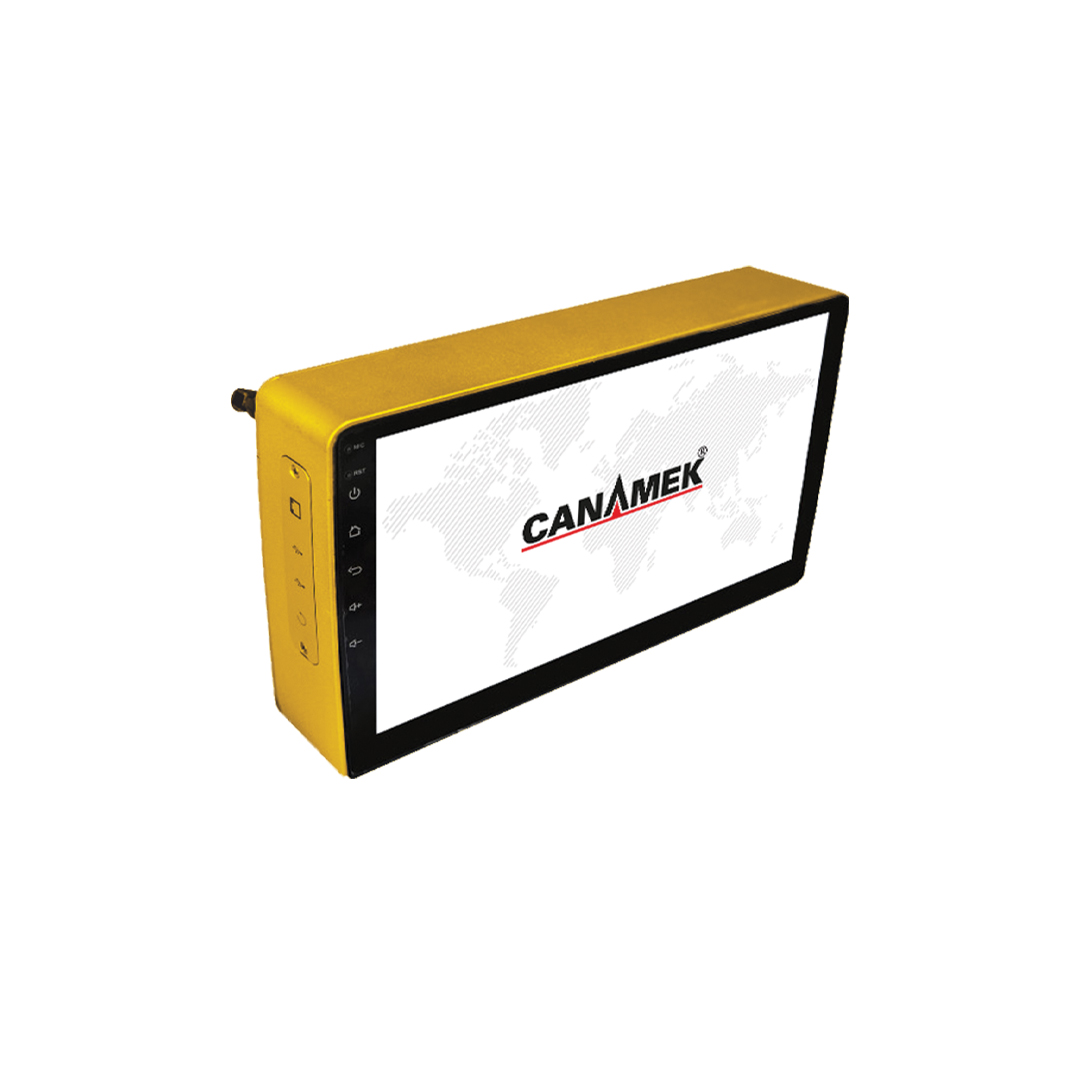
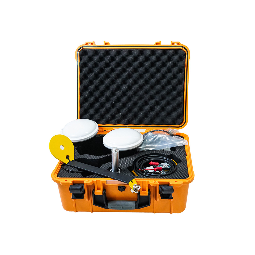
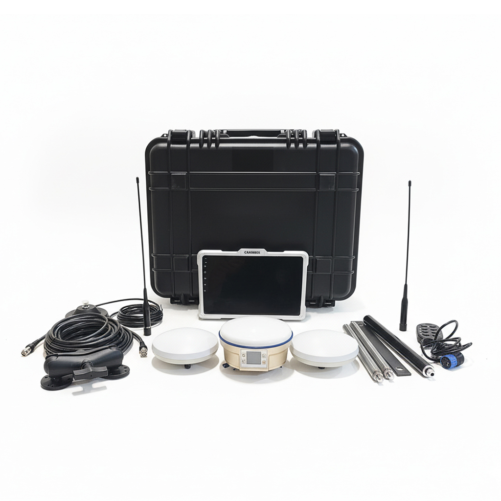
The latest generation of TopoMizer features a fully integrated design that combines the GNSS antenna, attitude sensor, and positioning module into a single unit. This design simplifies installation, improves positioning accuracy, and maintains stable performance under dynamic working conditions. The AT2 model can also enable full land leveling functionality through an optional upgrade package.
Real-World Success Story
In February 2024, a farmer in Mexico used TopoMizer to prepare two wheat fields before planting. By selecting the single-plane mode and simply configuring the slope and water flow direction, he completed the leveling operation without the continuous adjustments required by traditional laser leveling systems.
The results included:
• More uniform crop growth
• Reduced water and chemical consumption
• Less nutrient loss from the soil
• Healthier root development and fewer plant diseases
• Improved fertilizer efficiency
Conclusion
TopoMizer, developed by Rassam GPS, combines intelligent algorithms, precision GNSS positioning, and a user-friendly design to deliver a new generation of satellite land leveling solutions. By improving operational accuracy, reducing costs, increasing productivity, and optimizing resource management, TopoMizer is an ideal solution for smart agriculture and professional land leveling projects.