


GNSS Land Leveling
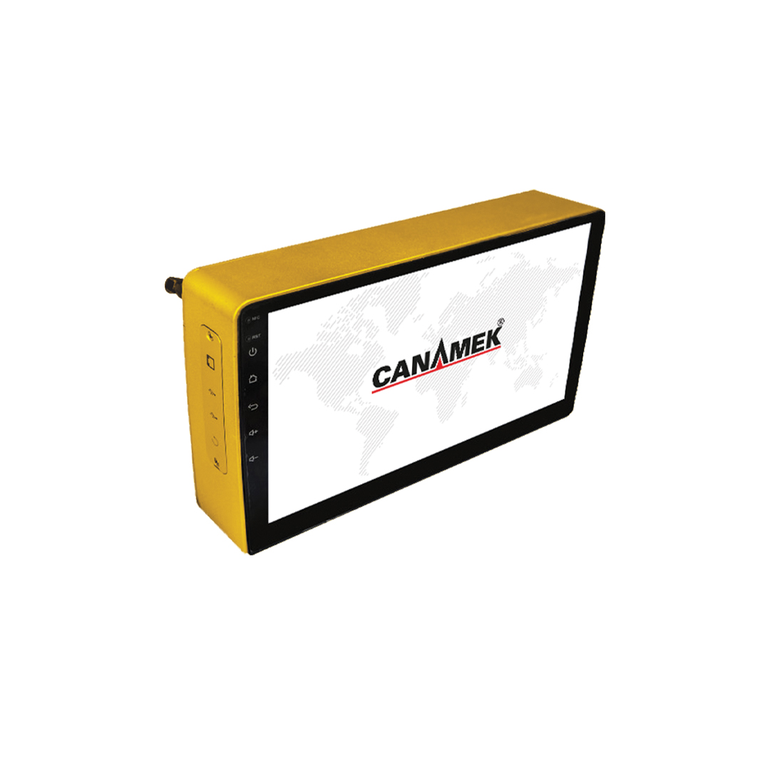
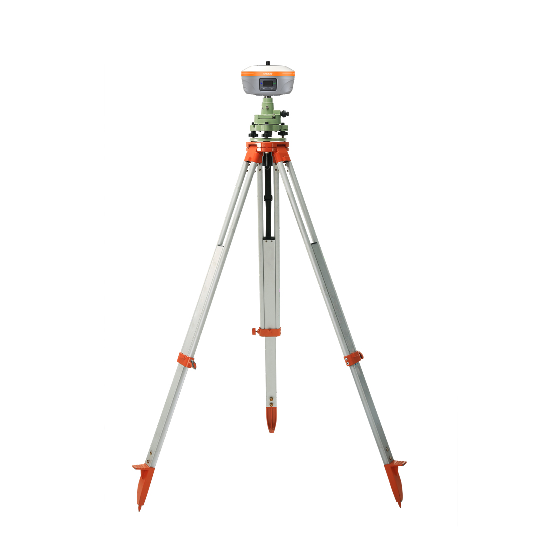
CANAMEK Green Satellite System (Android)
- Modern smart devices
- Professional installation
- After-sales support
- 021-66593922
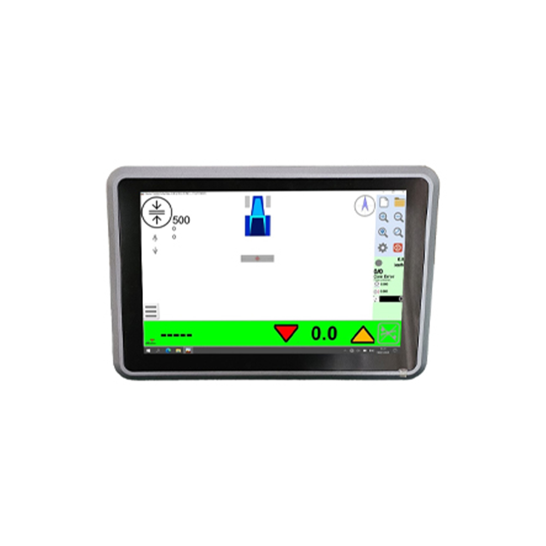
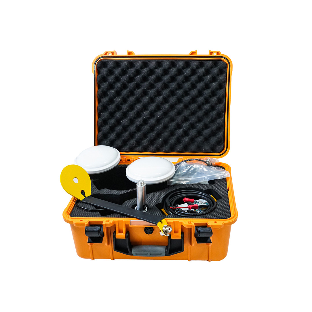
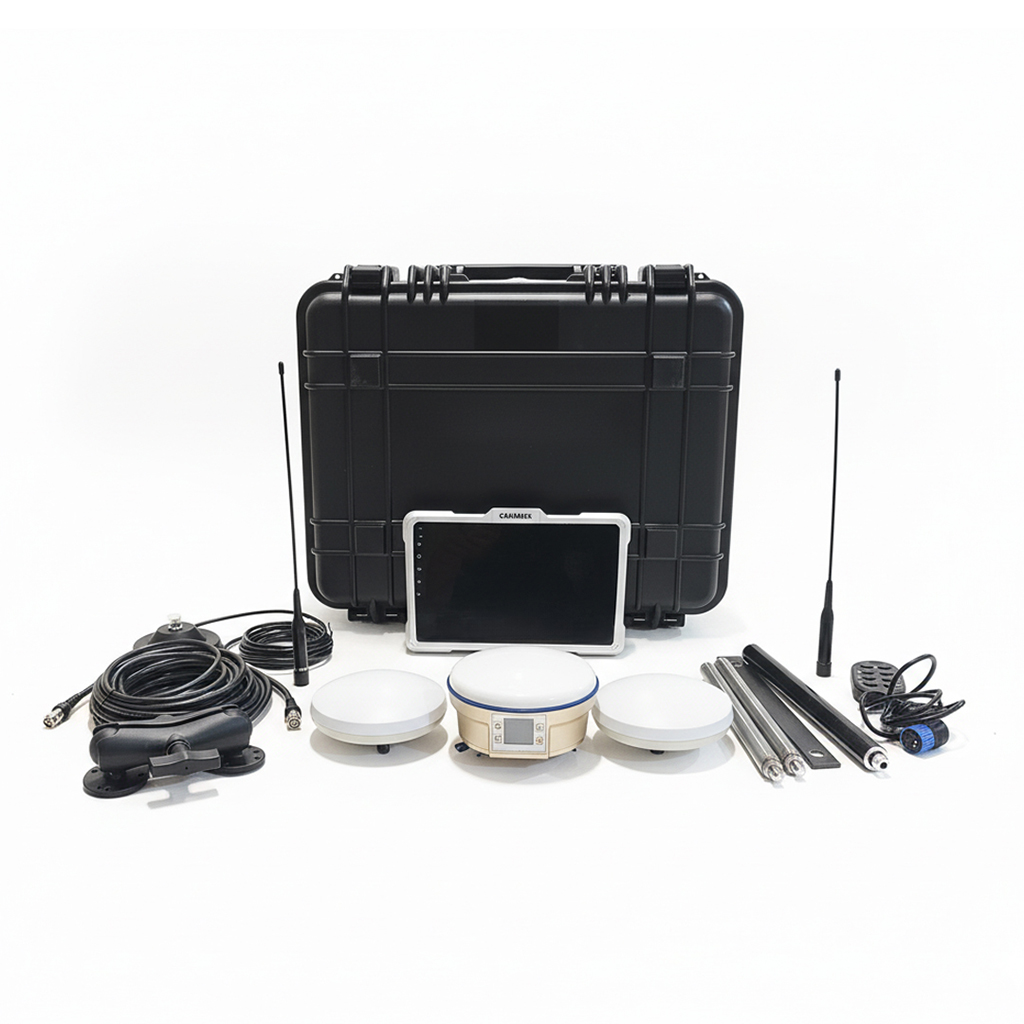
The CANAMEK Green Satellite System (Android) is a professional GNSS solution designed for surveying, topographic mapping, land leveling and machine control applications.
Supporting BeiDou, GPS, GLONASS and Galileo satellite constellations, it delivers centimeter-level positioning accuracy with an operational range of up to 5 km. Its Android operating system, reliable performance and data logging capabilities make it an ideal choice for construction, agriculture and surveying professionals.
Technical specifications
- Accuracy
- 1 cm + 1 ppm
- Data Logging
- Supported
- Input Voltage
- 12–30 V DC
- Operating System
- Android
- Effective Coverage
- 3–5 km
- Surveying & Topographic Mapping
- Supported
Supported Signals:
BeiDou, GPS, GLONASS, Galileo
Related products
Reviews
No reviews yet.