


GNSS Land Leveling
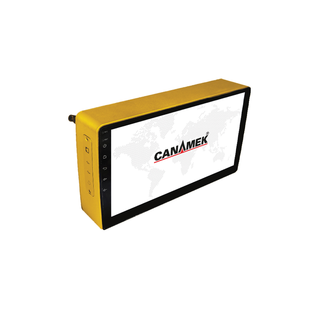
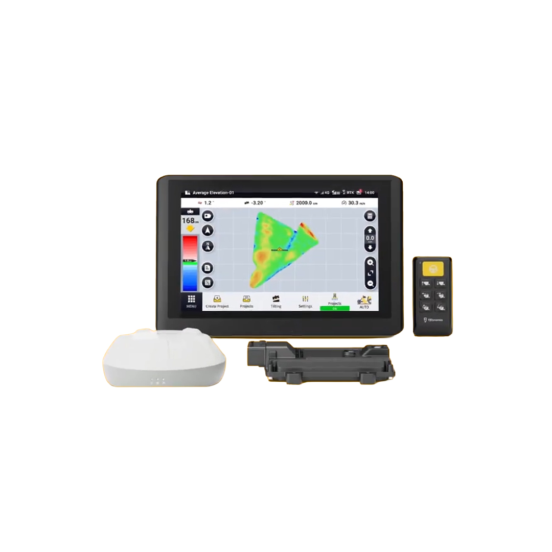
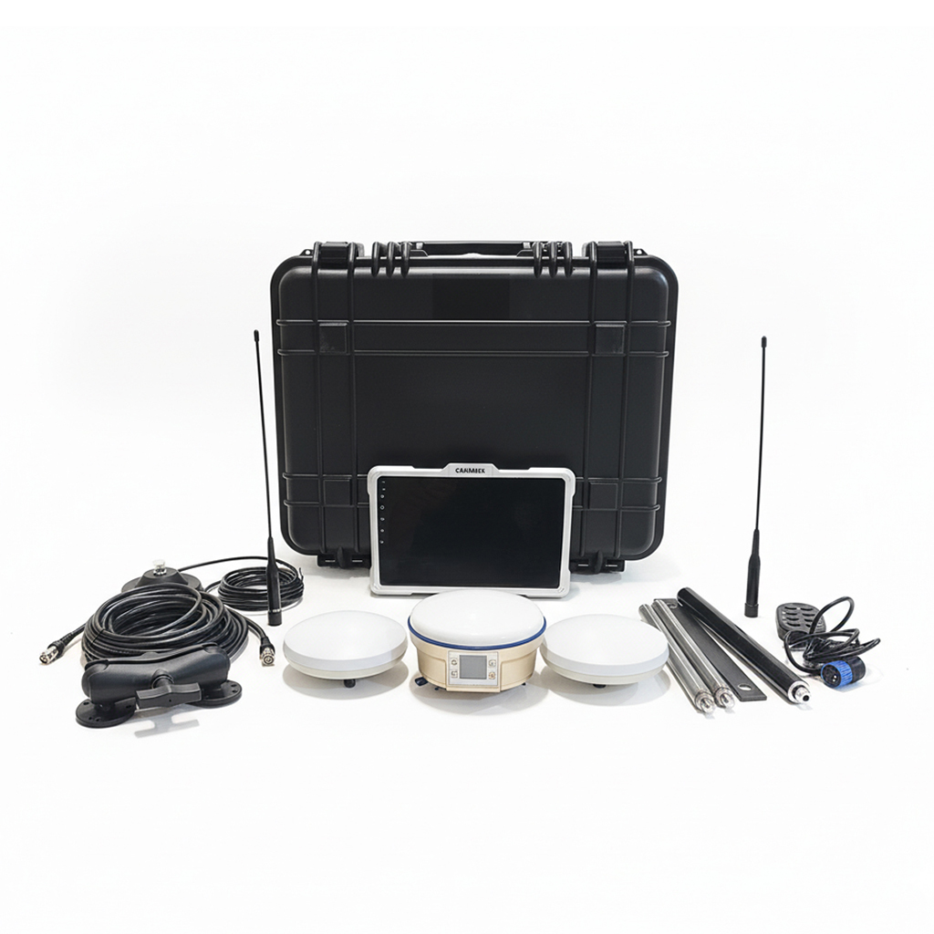
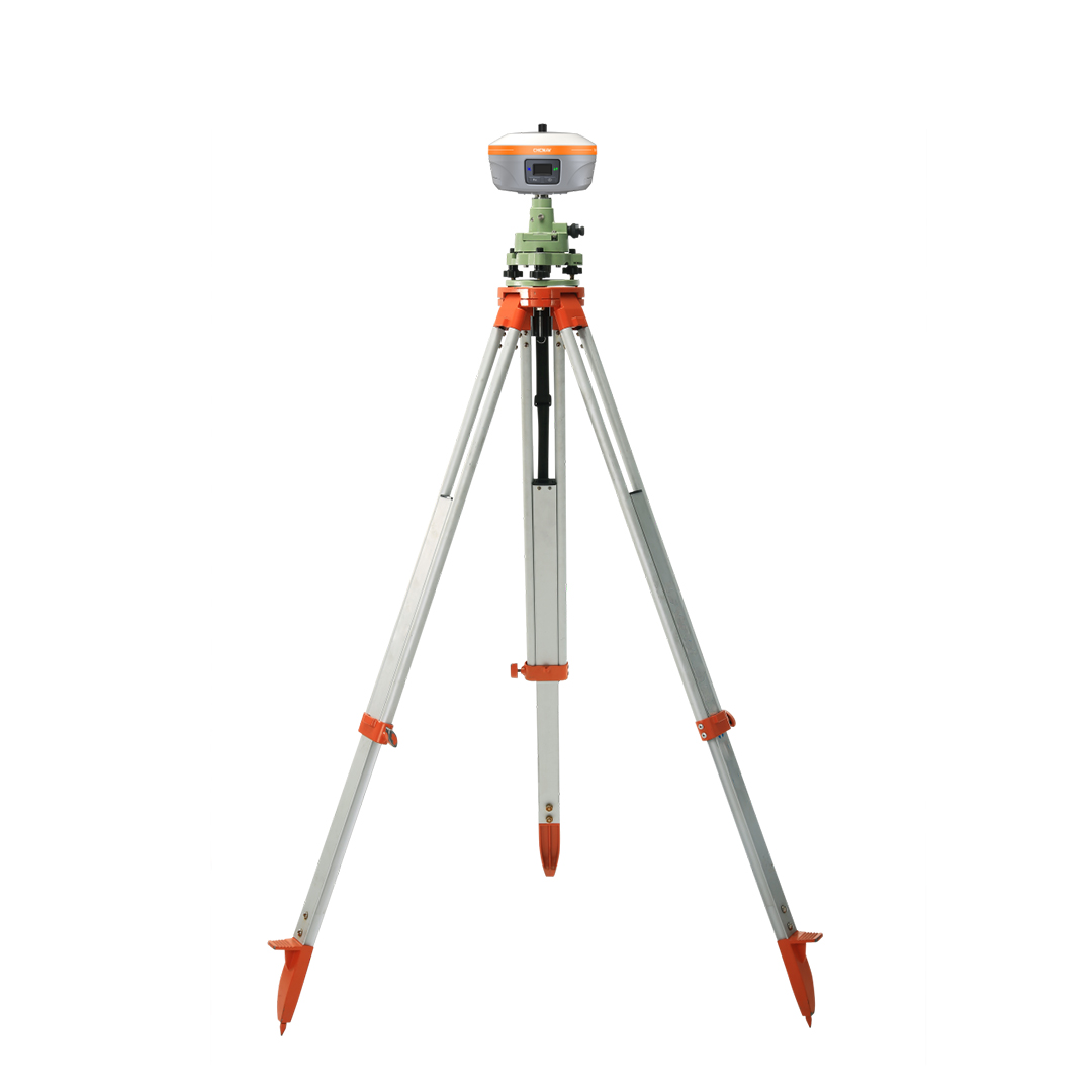
TopoMizer | GNSS Land Surveying & Land Leveling System
- Modern smart devices
- Professional installation
- After-sales support
- 021-66593922
TopoMizer is an advanced GNSS-based land surveying and land leveling solution designed to improve agricultural field preparation with centimeter-level accuracy.
The system performs precise topographic surveys, creates optimized land leveling designs with minimum earth movement, and provides automatic blade control for efficient grading operations. By improving field uniformity, TopoMizer helps optimize irrigation, reduce water consumption, minimize soil erosion, and increase crop productivity.
Equipped with RTK GNSS technology, intelligent terrain modeling, and professional project management software, TopoMizer delivers reliable performance for land leveling, drainage projects, precision farming, and agricultural engineering.
Its user-friendly interface, high positioning accuracy, and compatibility with modern leveling equipment make it an ideal solution for farmers, contractors, and precision agriculture professionals.
Technical specifications
• High-precision GNSS-based land leveling control system
• Supports GPS, GLONASS, Galileo, and BeiDou satellite constellations
• Centimeter-level accuracy with RTK correction technology
• Real-time blade height monitoring and automatic control
• Rugged industrial design for harsh agricultural environments
• Dust and water resistant (IP-rated enclosure)
• High-brightness display with intuitive user interface
• Fast installation and easy calibration
• Compatible with various land leveling machines
• Low power consumption and high operational stability
• Reliable performance under extreme weather conditions
• Professional technical support and after-sales service
Product video
Related products


Reviews
-
محمد 5/5
چه محصول کارآمد جالبی