# Satellite Land Leveling | Advantages and Disadvantages
The development of modern technologies has played a significant role in improving the performance of various industries, and agriculture is no exception. Land leveling is one of the most important preparatory operations before crop cultivation. For many years, laser land leveling has been the most common method. However, satellite land leveling has experienced rapid growth in recent years due to its unique advantages and high precision.
Compared to traditional land leveling methods, satellite-based leveling offers numerous benefits that make land preparation easier and more efficient for a wide range of applications. In this article, we will explore satellite land leveling, its applications, advantages, disadvantages, and challenges.
## What Is Satellite Land Leveling?
Satellite land leveling is a modern and advanced method that utilizes GPS technology to achieve precise land leveling. GPS (Global Positioning System) is a cutting-edge positioning technology used to determine accurate geographic coordinates and elevation data. This system enables efficient grading and preparation of agricultural land as well as various civil engineering projects.
## Components of a Satellite Land Leveling System
Satellite land leveling systems consist of several integrated components that work together to analyze and determine ground elevations with exceptional accuracy.
### Geodetic Satellites
These satellites accurately collect geographic positioning and elevation data based on global navigation satellite systems (GNSS), including GPS.
### Various Sensors
Different types of sensors, such as laser and radar sensors, are used to gather additional elevation and positional information.
### Data Processing Equipment
Powerful computers and advanced software process the large volume of data collected by satellites and sensors to generate accurate leveling information.
### Digital Terrain Model (DTM)
A precise digital model of the land surface is created using collected data, enabling accurate visualization and grading planning.
### Agricultural Machinery
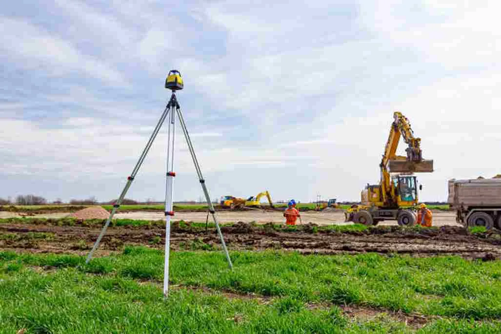
Tractors, combines, attachments, and other agricultural equipment equipped with GNSS technology are used to perform leveling operations.
## Applications of Satellite Land Leveling in Agriculture
Satellite land leveling has a wide range of applications that help farmers improve efficiency, productivity, and resource management.
### Accurate Mapping Through Satellite Imaging
Land leveling requires high precision. Before grading begins, it is essential to understand soil characteristics and terrain conditions. Satellite technology provides high-resolution imagery and detailed topographic maps, allowing farmers and contractors to plan leveling operations more effectively and select the most suitable equipment.
### Continuous Monitoring of Agricultural Lands
Effective leveling must be carried out at the right time and in the right location. Satellite technology enables continuous monitoring of agricultural fields, helping users make informed decisions regarding land preparation and leveling operations.
### Resource Allocation and Optimization
Satellite data allows farmers to identify the most efficient routes for machinery movement and leveling activities. This reduces fuel consumption, lowers operational costs, and minimizes environmental impacts.
### Environmentally Friendly Land Leveling
Earthmoving and soil redistribution are major aspects of land leveling. Poorly managed grading can increase environmental risks. Satellite-guided leveling minimizes unnecessary excavation, reduces soil erosion, and promotes environmentally sustainable land management practices.
### Identification of Cultivable Areas
By accurately measuring terrain elevation and slope, satellite land leveling helps farmers identify suitable cultivation areas. This information supports better crop selection and land-use planning.
Improved Irrigation Systems
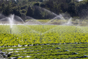
Accurate leveling enables more uniform water distribution across fields. Farmers can determine irrigation requirements more precisely, reducing water waste and improving water-use efficiency.
### Soil Improvement
Satellite data helps identify problem areas within fields, enabling farmers to apply targeted soil amendments and improve soil quality more effectively.
### Optimized Crop Planning
Detailed information about land characteristics, water resources, and soil conditions allows farmers to make better decisions regarding crop selection, planting density, and production planning.
### Cost Reduction
Access to accurate land and resource information helps farmers reduce production costs associated with irrigation, soil management, seed purchases, fertilizers, and crop protection products.
## Advantages of Satellite Land Leveling
### Superior Accuracy and Precision
GPS-guided land leveling uses satellite signals to determine exact equipment positions and elevations, eliminating human error and ensuring consistent grading across the entire field. This precision improves water distribution and crop performance.
### Time and Cost Efficiency
Traditional leveling methods often require extensive manual surveying and grading. Satellite technology automates these processes, reducing labor requirements, saving time, and lowering operational costs.
### Increased Productivity
Precise land leveling improves water management, reduces water losses, enhances crop quality, and increases agricultural productivity. In construction projects, it provides a stable foundation for infrastructure development.
### Environmental Benefits
Satellite leveling helps conserve water resources by optimizing irrigation efficiency and reducing runoff. It also minimizes excessive earthmoving activities and soil erosion.
### Data Recording and Documentation
Most satellite leveling systems can record operational data. These records are valuable for future analysis, quality control, project documentation, and decision-making.
### Wide Area Coverage
Satellite technology can efficiently cover large areas, enabling leveling operations even in remote agricultural regions.
By utilizing satellite positioning technology, satellite land leveling enhances land preparation processes, improves resource management, increases crop yields, and supports sustainable land development.
## Disadvantages of Satellite Land Leveling
### High Initial Investment
The installation and implementation of satellite land leveling systems require significant investment in equipment and technical expertise.
### Technical Challenges
Like any advanced technology, satellite leveling systems may encounter technical issues that can affect data accuracy and system performance.
### Training Requirements
Farmers and operators need proper training to effectively use satellite-guided leveling systems.
### Dependence on Environmental Conditions
Certain satellite imaging applications may be affected by cloud cover, rainfall, or adverse weather conditions.
### Limited Detection of Specific Problems
Satellite imagery may not always detect certain issues such as pest infestations, soil contamination, or specific underground soil conditions.
## Major Challenges of Satellite Land Leveling
Although satellite technology offers numerous benefits, it also faces challenges. One of the most significant limitations is the impact of atmospheric and weather conditions on satellite imaging accuracy. Cloud cover and adverse weather can affect image quality and data collection.
However, continuous advancements in GNSS and satellite technologies are steadily overcoming these limitations, making satellite land leveling increasingly reliable under various environmental conditions.
## Conclusion and Recommendations
To maximize the benefits of satellite land leveling in agriculture, the following recommendations should be considered:
### Farmer Education
Farmers should receive proper training and technical support to effectively utilize satellite leveling technologies.
### Accurate Data Analysis
Advanced software and data analysis tools should be used to ensure collected information is interpreted correctly and utilized efficiently.
### Strategic Planning
Careful planning regarding crop selection, planting patterns, and field management enables farmers to gain the greatest benefits from satellite-guided land leveling.
Ultimately, while satellite land leveling offers both advantages and disadvantages, its proper implementation can significantly improve agricultural productivity and sustainability. Selecting the most suitable technology—whether satellite-based or laser-guided leveling—should depend on local conditions, field requirements, and farming objectives.
Collaboration among farmers, agricultural specialists, and industry organizations is essential to maximize the benefits of modern land leveling technologies. By leveraging advanced satellite positioning systems, agricultural producers can improve efficiency, conserve natural resources, and contribute to environmental sustainability.
## Rassam GPS
Rassam GPS (formerly Rangbaran, now Rassam Lian Machine) specializes in agricultural electronic equipment, automation systems for agricultural and construction machinery, and advanced satellite and laser land leveling solutions.
By providing high-quality agricultural technologies and equipment, Rassam GPS continuously strives to deliver reliable solutions and achieve the highest level of customer satisfaction.
For more information about our products, please visit our land leveling equipment store.